


Crop mapping in Qazvin Irrigation Network in Iran
Crop mapping in Qazvin Irrigation Network in Iran
The Food and Agriculture Organization of the United Nations
(FAO), in collaboration with the Ministry of Agriculture Jahad and the Imam
Khomeini International University-Qazvin has started implementing the crop
mapping activities in Qazvin Irrigation Network (QIN) in Iran. This activity
contributes to the water accounting component of the inter-regional project
“Implementing the 2030 Agenda for water efficiency/productivity and water
sustainability in NENA countries” by developing a theoretical framework and an
advanced crop mapping methodology for QIN as the study area in Iran and
preparing two seasonal crop maps for the reference year.
Without up to date and reliable crop maps, it is not
possible to count on the results of the models and methodologies applied to
conduct water accounting, estimate the crop water productivity and assess the
water sustainability. For this reason, and through using the innovation of
earth observation missions, particularly from the Sentinel mission, two
seasonal crop maps of QIN, for the crop year 2019-2020 (1 September 2019 to 20
November 2020) are under preparation.
Reflecting crops planted in the QIN, the crop type maps
would be provided for two seasons. The first seasonal crop map will detail the
crops cultivated in the fall of 2019 and harvested at the end of spring 2020
including classes of wheat, barley, alfalfa, rapeseed, fallow, orchard, grapes
and other cultivated areas. The second map will delineate the crops cultivated
in spring and summer of 2020 and harvested in fall 2020 covering the classes of
corn, sugar beet, irrigated vegetables, fallow, orchard, grapes and other
cultivated areas.
Crop mapping methodology
To develop the best feasible crop mapping methodology, the
project focused on the usage of free accessible satellite data, especially
Sentinel imageries and other auxiliary data such as digital elevation model
(DEM) and the application of open-source tools for the image processing. In
this regard, different approaches, including image classification, object-based
and pixel-based methods, have been examined. Then, based on the assessed
accuracy of different models, the best methodology with the highest accuracy
according to the characteristics of the study area has been applied.
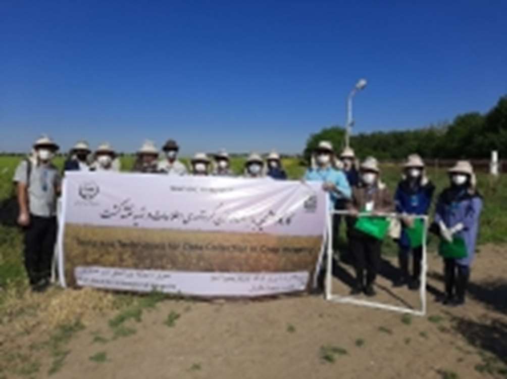
Field data collection
As part of this multi-stage activity, three rounds of ground
data collection have been designed during three different periods of time
including: (i) peak green period of autumn crops, (ii) peak green period of
spring crops, and (iii) peak green period of second crops.
Prior to the commencement of the first phase of this
fieldwork, a three-day workshop to train ground data collectors was conducted.
During this learning opportunity, certain topics were discussed and taught in
detail, including the concepts and practical applications of remote sensing and
GPS, agronomic information, in respect to cultivated crops in the QIN and the
prepared digital questionnaires.
Hands-on training on field data collection was done based on
the provided tools and techniques in a test area - crop-sampling method, doing
photography, location recording and appropriate interaction with farmers and
local communities were among other discussed issues in this workshop. In
addition to that, the sampling teams were provided with requisite equipment for
sampling as well as applicable health and safety advice.
By the end of September 2019, two out of three phases of the
fieldwork have been completed, and over 1 000 ground samples have been
collected to be used in the development of crop mapping methodology.
Final crop maps
Once the third phase of ground data collection activities is
concluded, and by applying different models to assess and examine the gathered
data as well as evaluating the accuracy of the results, the output seasonal
crop maps, benefitting from the highest possible accuracy, will be finalized by
the end of 2020.
http://www.fao.org/iran/news/detail-events/en/c/1317387/
