


.jpg)
Nationwide agricultural land-use mapping initiative launched to support sustainable development
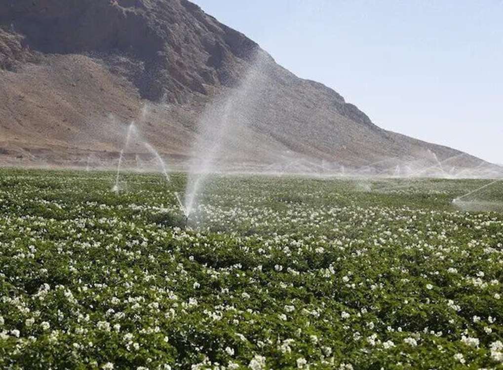
Nationwide agricultural land-use mapping initiative launched to support sustainable development
Tehran - Iran’s Organization for Land Affairs has launched a nationwide agricultural land-use mapping project to provide accurate and up-to-date data for national land-use planning and agricultural policymaking, a senior official announced.
Speaking to Mehr News Agency, Mohammad Ahmadi, Director General of the Engineering and Cadastral Office at the Organization for Land Affairs, said the project forms part of a broader strategy to strengthen infrastructure for evidence-based agricultural planning and to support the implementation of the country’s territorial development agenda.
“Reliable statistics on agricultural land are essential for effective policymaking and long-term sector planning,” Ahmadi stated. “One of the key foundations for successful land-use planning is access to precise, comprehensive data on the extent and usage of agricultural lands nationwide.”
He added that the initiative is aligned with national strategic documents and builds on the country’s existing technical and operational capabilities to produce an integrated and authoritative land-use map.
Ahmadi emphasized that the resulting map will serve as a critical tool for optimizing land management and advancing sustainable agricultural development across Iran.


comment please